Simplified Radiosity Algorithm
Contents |
[edit] Short description
The short wave irradiance algorithm of the SRA allows for the calculation of hourly solar global radiation per surface, with consideration of surface inter-reflexions and a Perez Sky Model. 2 input files are required for this:
- an urban model (so-called sra.xml), with all polygon vertices, surface reflexion coefficients, and far field obstruction
- a weather files (so-called sra.cli), with hourly beam and diffuse solar radiations.
Outputs are the hourly global solar radiation per surface
[edit] Origin
The Simplified Radiosity Algorithm (SRA) has been developed between 2000 and 2005 by Robinson and Stone in the Ecole Polytechnique Fédérale de Lausanne, for the special purpose of urban modeling. It is presently implemented in the urban simulation software CitySim . It is composed of different parallel algorithms:
- short wave irradiance calculation (solar radiation)
- long wave irradiance calculation (infra-red surface exchanges)
- Interior daylighting (internal illuminance)
It is planned to connect SimStadt with the short wave irradiance algorithm (provided by D. Robinson as dll)
[edit] Integration to the SimStadt Environment
Chronological steps:
- The weather file (sra.cli) will be automatically generated by Insel8, according to a specified site location. Alternatively, weather file converters could be used for instance to convert meteonorm file (.tm2, .tmy3) in sra.cli.
- A part of the CityGML file will be converted in a sra.xml, and meshed in unit polygones corresponding to the resolution given by the user.
- /// SRA Call in the SimStadt Environment ///
- importation of the radiation results in the SimStadt repository (mean radiation values per CityGML boundary surface)
- Visualisation of the solar potentials per Facade, sub-calculation of indexes (sunny hours...)
- Use of the calculated solar radiation for different possible simulations:
- Heating demand simulation (Insel8 or citysim), using the calculated solar radiation as solar gains (hourly or mean monthly values).
- OR calculation of the photovoltaics electricity /solar thermal production.
[edit] Required inputs [to finish...]
2 input files are required to launch the algorithm.
- Building/Surface input file (.xml)
| Parameter | Description | Unit/Type | Source |
|---|---|---|---|
| Per site/simulation | |||
| FarFieldObstructions | given in azimuth and elevation | ° | Horicatcher |
| ... | ... | ... | ... |
| Per surface of the building | |||
| Inclination | Inclination of the surface | [°C-H] | CityGML>preprocessing |
| ... | ... | ... | ... |
- Weather input file (.cli)
| Hourly Inputs | Description | Unit | |
|---|---|---|---|
| Per site | |||
| dm | day | ||
| m | month | ||
| h | hours | ||
| G_Dh | Diffuse horizontal radiation | W/m² | Insel8 |
| G_Bn | Beam normal radiation | W/m² | Insel8 |
further details in the following documentation File:SimplifiedRadiosityAlgorithm J.Chapman.pdf
[edit] Results
The result file (.txt) contains a list of global irradiances in [W/m²] per surface and per hour.
| Outputs | Description | Unit | |
|---|---|---|---|
| ... | ... | ... | ... |
[edit] Core of the algorithm
The short wave algorithm of the SRA has been detailed and tested against radiance many times in the last decade: File:Simplified Radiosity Algorithm.pdf
Used models:
The sky vault is discretized in 145 patches, as suggested by Tregenza, each patch beeing treated as a luminance point source.
According to the sky model of Perez used in this algorithm, the relative luminance of an arbitrary sky point is a function of the zenith angle of the considered sky point and the angular distance between this point and the sun.
Step1: View factor calculation
For the calculation of obstruction view factors, views encapsulating the hemisphere are rendered from each surface centroid, with every surface having a unique colour (256³ possible different colours). By using hardware which is optimized for the rendering and processing of images (a Graphics Processing Unit) the cost of calculating these view parameters is quite modest.
The outputs from the view factor calculation are the view factors and solar visibility fractions
Step2: Calculation of shortwave radiation exchange
Radiation reflected from (part) occluded patches within the two vaults (one for above and one for below the horizontal plane) are calculated, making the simplification that the radiance, of obstructions occluding a given patch, can be represented by that of the dominant obstruction.
A set of simultaneous equations describing surface irradiance prediction for an entire external scene is formulated into a matrix and solved either by inversion for infinite reflections or by iteration (e.g., Gauss-Seidel) for finite reflections.
Hourly solar views are only rendered for the central day of each month. Values for solar times corresponding to the same clock hours on other days are calculated using 2D three-point Lagrangian interpolation.
[edit] Variants & Development perspectives
According to Darren Robinson, with a slight modification of the algorithm, it should be possible to run the Simplified Radiosity Algorithm without the final Lagrange interpolation.
This would speed up the simulation in the case of a monthly balance simulation.
[edit] Notes
- Documentation and dynamic libraries have been sent by Jacob Chapman from Nottingham University.
- The interface to the DLL is very simple, a single method taking in a string value of the name of the xml file containing the scene description.
- The library has been tested by Eric Duminil on Linux Mint 13.
- The library comes with a correctly formatted example.xml
- The program seems to work correctly with the example, and outputs a correctly formatted example_SW.out after approximatelx 5 minutes
- The example.xml is associated with a weather file called Basel.cli
- The xml file looks like it could be related to CityGML.
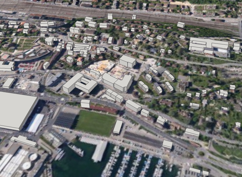
- The content of the example.xml seems to be for a Neuchâtel (CH) quarter, for approximately 230 buildings
- The Vertex coordinates look like this : <V0 x="562475.07" y="205443.87" z="460.72"/>
- Those coordinates seem to be written in "CH1903 / LV03" coordinates system.
- Info from Jacob Chapman : the coordinates system isn't relevant. Only the relative coordinates (in meters) are important.
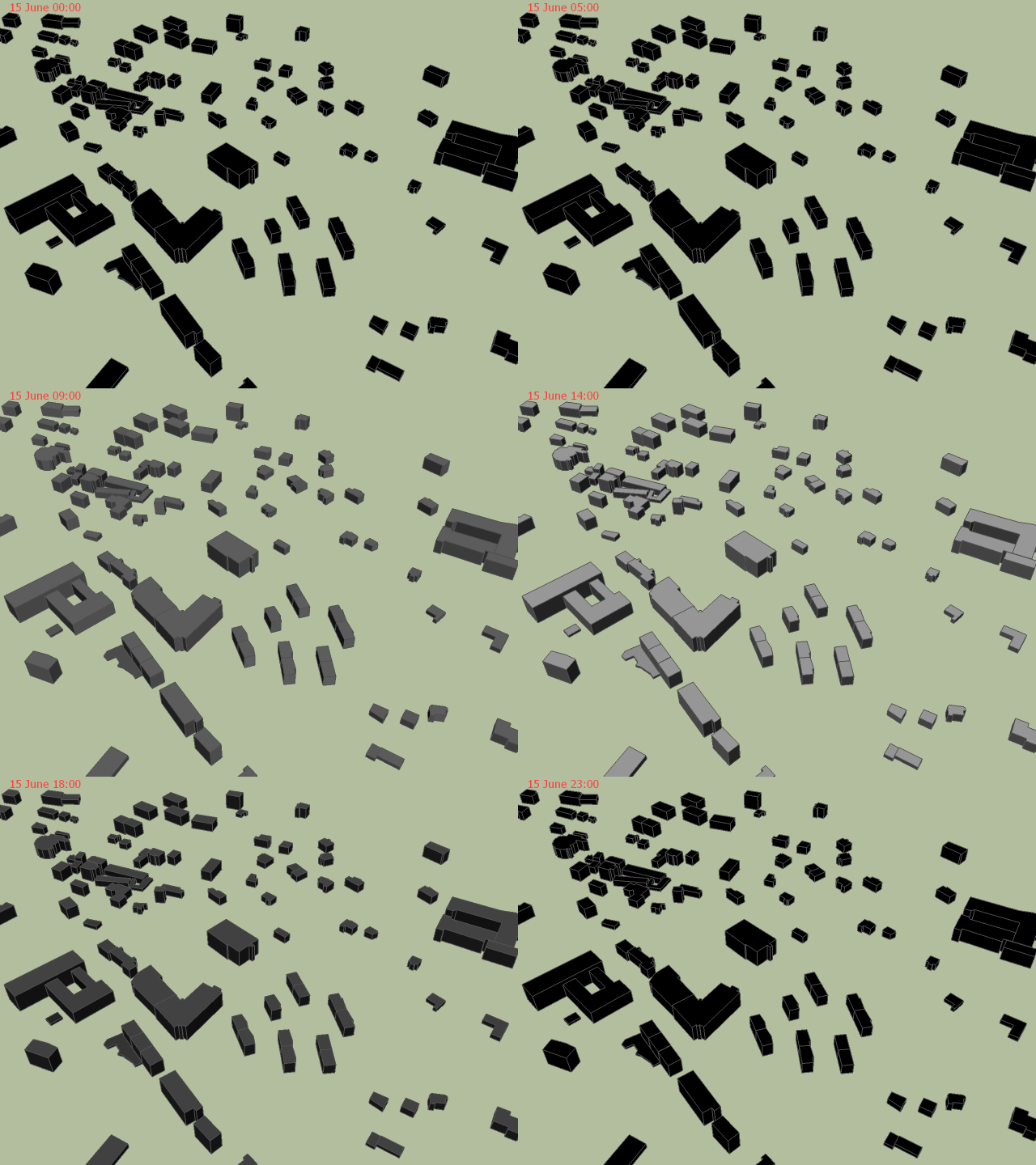
- A small SketchUp Plugin has been written in order to import the CitySim 3D model:
- Some faces are defined by Vertices that are not exactly coplanar. The CleanUp SketchUp plugin takes care of it.
- Done : Parse the output file and associate the results to each building and face
- Done : Check the results. Maximum : 1014. Probably [W/m²].
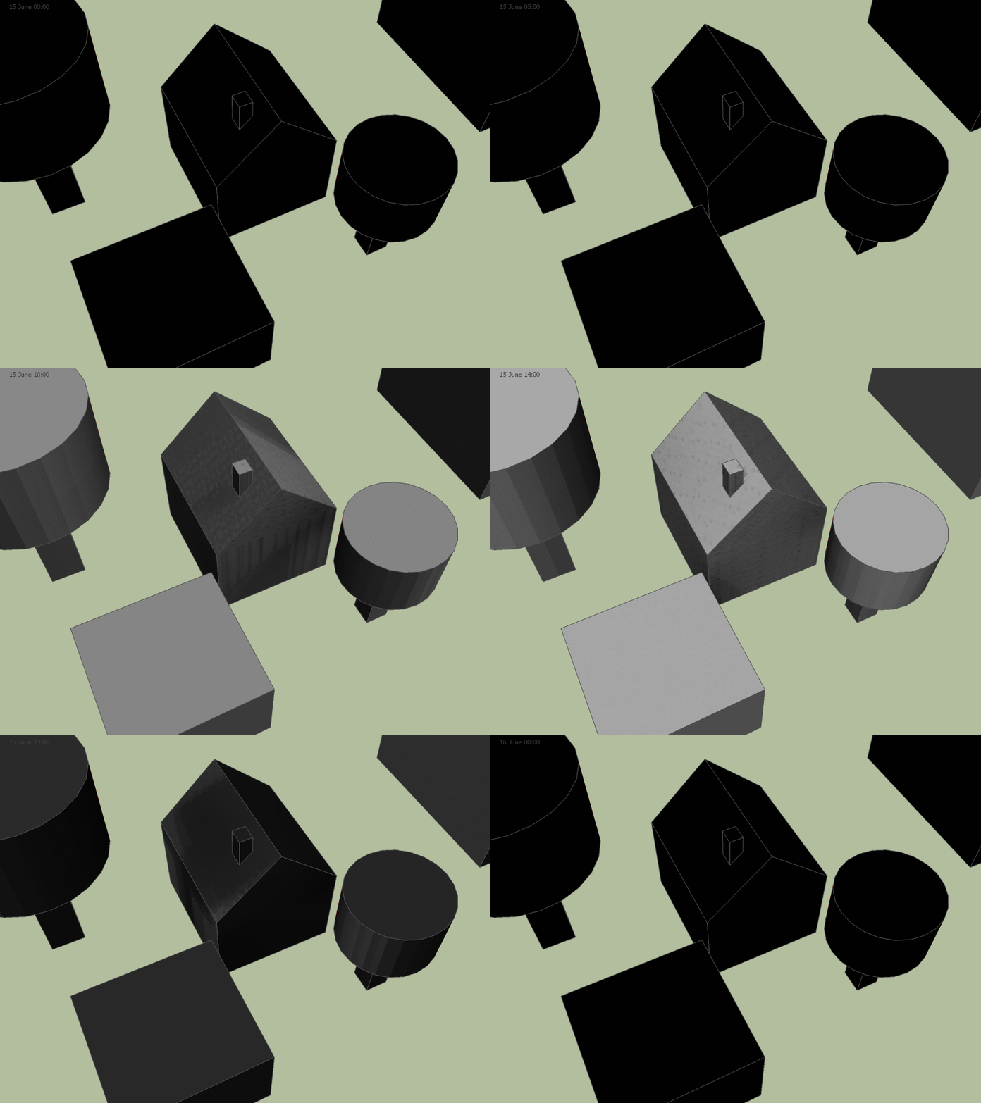
- Done : Export video/images. The shading is calculated from the SRA output file, not from Sketchup Shadows.
- Done : Write a correctly formatted xml input file from a 3D SketchUp model
- Done : Add grid or triangulation to every face if needed.
- Done : Does it work with tilted roofs?
- Done : Launch Simplified Radiosity Algorithm
[edit] Todo
- Write weather.cli files for arbitrary locations with INSEL
- Check similarity with CityGML
- Is it possible to shortcut any 3D software for preprocessing/simulation? (i.e. CityGML -> sra.xml -> SRA -> results)
- Integrate with other processes
- Integrate into Kepler workflows


